DESCRIPTION
GLOBE Observer is an international network of citizen scientists and scientists working together to learn more about our shared environment and changing climate. To participate, just download the GLOBE Observer app and submit regular observation Since GLOBE Observer is part of the GLOBE program, citizen scientists are also providing data for student research, strengthening science education.
The GLOBE Observer App currently includes four main tools: Clouds, Mosquito Habitat Mapper, Land Cover and Trees. Future versions of GLOBE Observer will add additional tools to help you further contribute to the global scientific community.
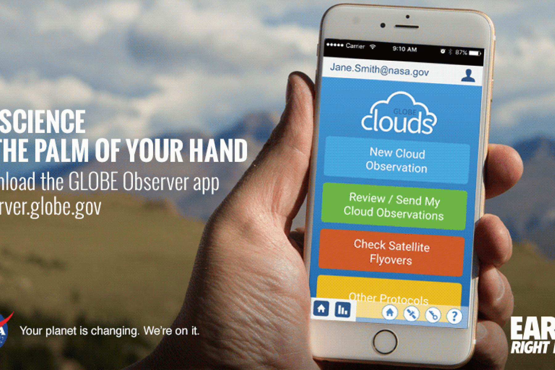
- Clouds: By photographing clouds, recording sky observations, and comparing them with NASA satellite data, you can help scientists gain a new perspective on clouds that satellites just can't provide: from the ground looking up! This new perspective will help refine satellite-derived models and enhance scientific understanding of Earth's atmosphere.
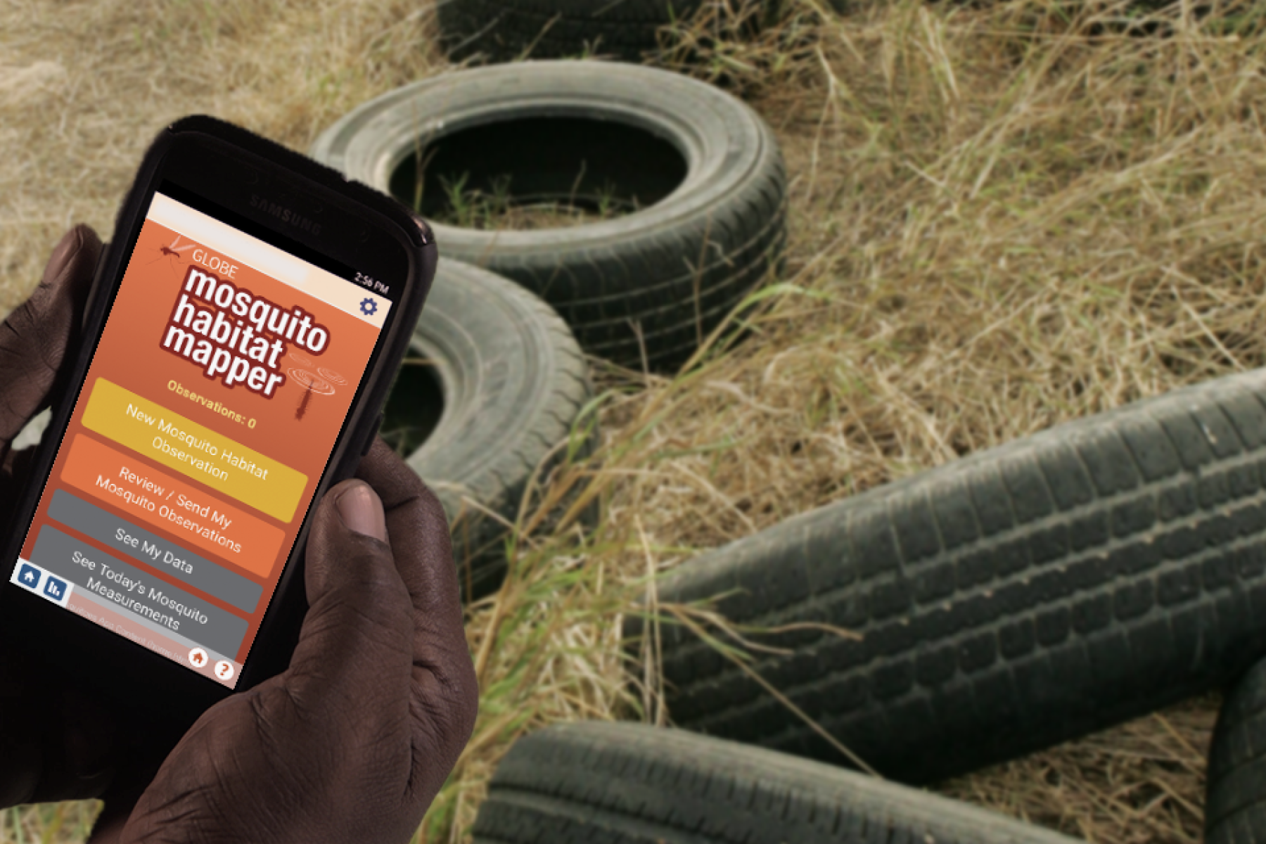
- Mosquito Habitat Mapper: By identifying potential breeding sites for mosquitoes, sampling and counting mosquito larvae, and by using optional equipment to examine, photograph and identify the genus of your specimens, you will be enabling scientists to verify predictive models of mosquito population dynamics. In addition, public health authorities can use your observations to inform where, when, and how to intervene in their communities to reduce disease risk.
- Land Cover: By photographing and classifying the land cover over an area the size of a soccer field, you will be assisting those scientists working to enhance global maps of land cover use. Your observations will contribute to new maps with a finer spatial resolution than is possible using satellites alone. Land cover is critical to many different Earth processes, and is of interest to a wide variety of scientists and decision makers.
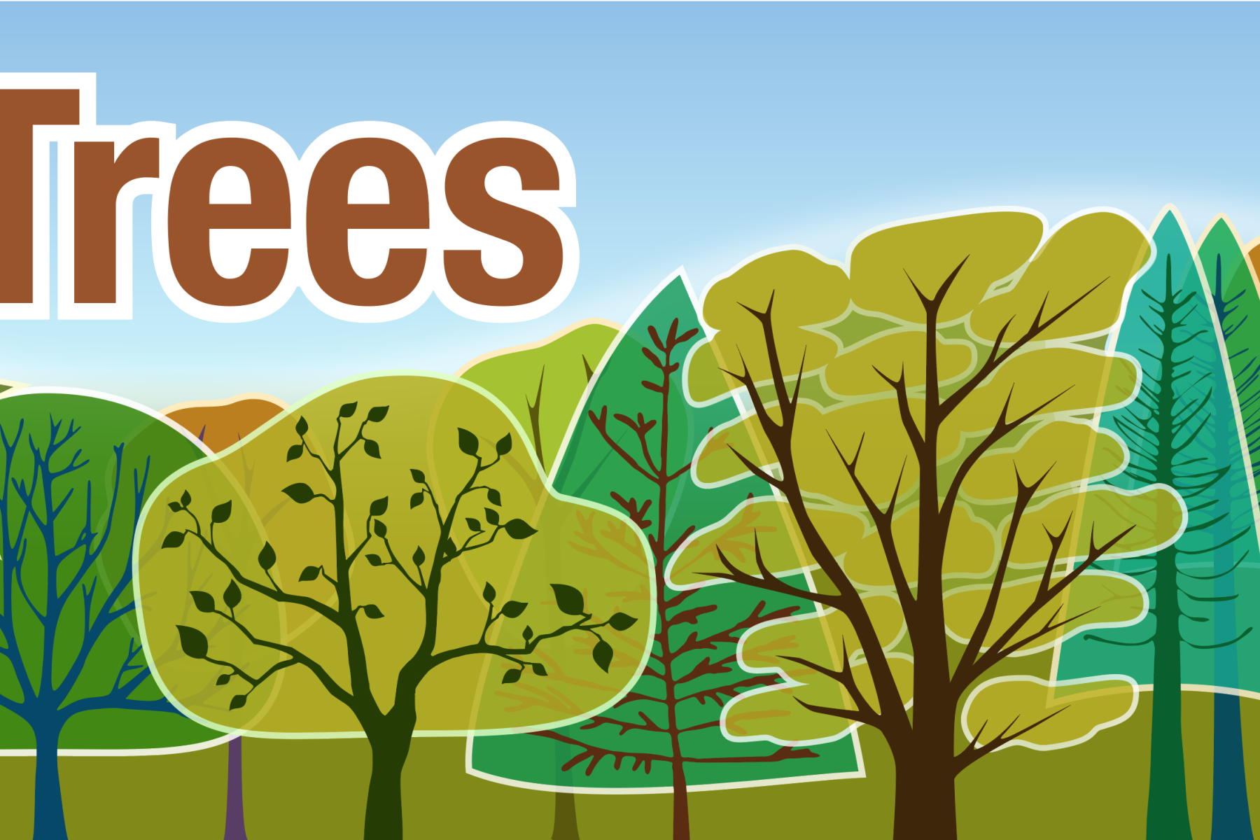
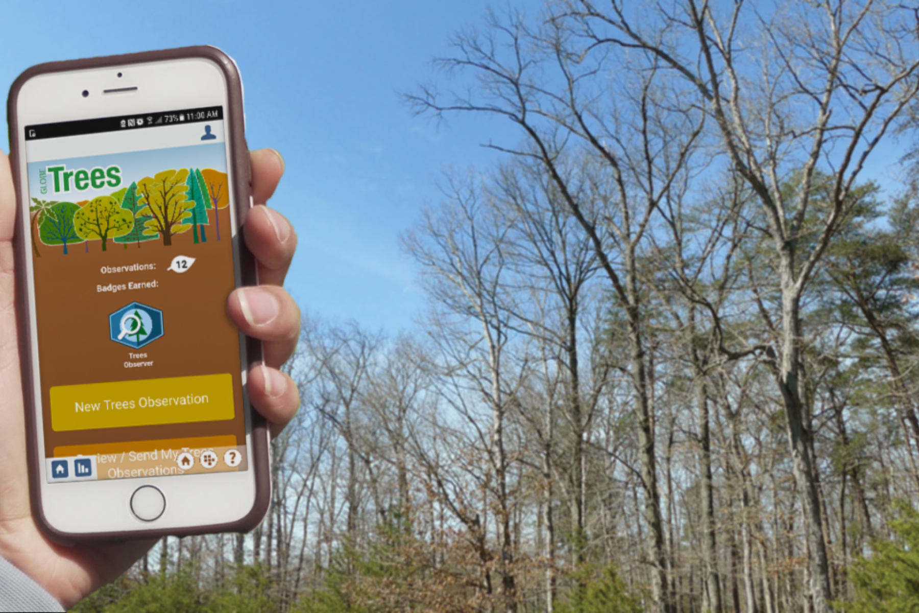
- Trees: The Trees observation allows citizen scientists to measure tree height (and optionally tree circumference) to track the growth of trees over time. Tree height is the most widely used indicator of a environment’s ability to grow trees. Observing tree height allows NASA scientists to understand the gain or loss of biomass which can inform calculations of the carbon that trees and forests either take in from or release into the atmosphere.
DESCRIPTION
GLOBE Observer is an international network of citizen scientists and scientists working together to learn more about our shared environment and changing climate. To participate, just download the GLOBE Observer app and submit regular observation Since GLOBE Observer is part of the GLOBE program, citizen scientists are also providing data for student research, strengthening science education.
The GLOBE Observer App currently includes four main tools: Clouds, Mosquito Habitat Mapper, Land Cover and Trees. Future versions of GLOBE Observer will add additional tools to help you further contribute to the global scientific community.
- Clouds: By photographing clouds, recording sky observations, and comparing them with NASA satellite data, you can help scientists gain a new perspective on clouds that satellites just can't provide: from the ground looking up! This new perspective will help refine satellite-derived models and enhance scientific understanding of Earth's atmosphere.
- Mosquito Habitat Mapper: By identifying potential breeding sites for mosquitoes, sampling and counting mosquito larvae, and by using optional equipment to examine, photograph and identify the genus of your specimens, you will be enabling scientists to verify predictive models of mosquito population dynamics. In addition, public health authorities can use your observations to inform where, when, and how to intervene in their communities to reduce disease risk.
- Land Cover: By photographing and classifying the land cover over an area the size of a soccer field, you will be assisting those scientists working to enhance global maps of land cover use. Your observations will contribute to new maps with a finer spatial resolution than is possible using satellites alone. Land cover is critical to many different Earth processes, and is of interest to a wide variety of scientists and decision makers.
- Trees: The Trees observation allows citizen scientists to measure tree height (and optionally tree circumference) to track the growth of trees over time. Tree height is the most widely used indicator of a environment’s ability to grow trees. Observing tree height allows NASA scientists to understand the gain or loss of biomass which can inform calculations of the carbon that trees and forests either take in from or release into the atmosphere.
DOWNLOAD FILES
Credits
NASA
This linked product was created by another institution (not by the NISE Network). Contact owning institution regarding rights and permissions.
NISE Network products are developed through an iterative collaborative process that includes scientific review, peer review, and visitor evaluation in accordance with an inclusive audiences approach. Products are designed to be easily edited and adapted for different audiences under a Creative Commons Attribution Non-Commercial Share Alike license. To learn more, visit our Development Process page.